Here is a snapshot of the high level map of the Mojave Road that Dave drew.
Be sure to see all of his detailed section-by-section images and notes that guide you through a journey along the road. You will also want to purchase Dennis Casebier's "Mojave Road Guide" as well as Bill Mann's “Guide to 50 Interesting and Mysterious Sites in the Mojave”.
Further down Dave's page was a note on a mystery site along with this image that he captured.
Leaving at 6AM we assembled at the Afton Canyon exit on Highway 15 so that we could take the scenic route along the Mojave River. This canyon is sometimes called the Grand Canyon Of The Mojave but what it lacks in sheer depth it overachieves in the areas of color and picturesque erosion.
One of the great features of the canyon is the Mojave River where it briefly comes to the surface and provides a river crossing for 4x4 drivers to enjoy. The Mojave River headwaters are in the San Bernardino Mountains and normally the river only comes to the surface where there are underground layers impermeable rock.
Over long periods of history this canyon has been a route for Native Americans, explorers such as Jedidiah Smith, the Spanish, wagon trains, miners and even now, the railroads.
As we drove deeper into the canyon we were treated to steep, colorful and fancifully eroded canyon walls.
High on a cliff face the canyon wall is the abandoned Arbuckle Mine where they extracted magnesite ore once used in the linings of open hearth steel furnaces. The ore was brought to the railroad siding on a high-flying aerial tramway that was 1900 feet long.
Hidden in the deep fissures of Afton Canyon's forbidding walls are some amazing slot canyons.
Sometimes they are so deep and narrow that flashlights and headlamps are required if you dare to enter them.
Proceeding further into the gloom may require ropes and other climbing aids
Back in the warm May sunshine we proceeded along our route but stopped to take some photos under this iconic railroad bridge.
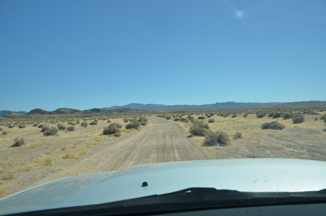
Soon we were approaching Cady Mountain, enjoying the desert landscape and the sense of adventure as we closed in on the mystery site's isolated hiding spot.
Sometimes the route was barely visible and we'd stop and consult maps and the GPS devices.
The route also provided a number of interesting terrain formations!
Soon the canyon walls closed in on us as the trail beckoned us forward.
And just around the last bend..... was something that looked as if you would expect to see crazy Nazi occultists marching the Ark Of The Covenant up the canyon for a test run.
(found this on the web, all rights belong to LucasFilm)
At long last we were seeing the actual mystery site with our own eyes!
Maybe a long forgotten 1950's era fallout shelter?
A refueling station for secret government flying machines?
All kidding aside, my research had painted a picture of a group of very dedicated volunteers who build and maintain a series of rainwater collection systems to provide water for bighorn sheep and other wildlife. The group is known as the Society For The Preservation Of Bighorn Sheep. These water storage systems are know as "guzzlers" and are strategically located along the desert migration route of the bighorn sheep.
On the hill above the tanks are large rainwater collection basins
In each basin is a collector made of PVC with very fine slits that act as a debris filter
The Society replaced this older system that used a small dam to bring water into the tanks
This is one of two sheltered openings for the sheep to drink water. The rectangular tank is custom designed by The Society.
Having resolved the mystery we took time for a good lunch before heading back onto the trail.
We made an attempt to find a mine location in the hills but our only reward was some fun four wheeling and views all the way back to Highway 15
We had time to head out to see one last mystery, a puzzling emplacement that is well known (similar to the pyramids of Egypt) but no one knows how they did it. To see his odd duck of the desert required a little more driving across the desert's high speed roads.
Before too long we were able to spot this odd icon of the desert known as the "Megaphone"
There are no explanations for this Mysterious Mojave Megaphone that have yet made sense. Dragging all of the pieces up there and welding them in place would have been a Herculean undertaking. A crane could not have maneuvered close enough to lift it up and drilling the mounting holes in the rock was no easy feat.
It employs some old school nuts and bolts similar to those used on old mines and railroads. That is an interesting touch. Note that they were tack welded in place.
Some think it is some sort of homage to the old Tidewater & Tonapah Railroad whose abandoned rail bed runs nearby. I propose it was created by an artistic Army prankster at Fort Irwin who employed a helicopter to lift the 10 foot long and very heavy steel sculpture up into place. Makes as much sense as all of the other goofy theories! The galvanized pipe and rebar used for mounting date this item as being constructed no earlier than the 1950's.
We had a very long but successful day exploring this corner of the Mojave, enjoying friendship and adventure. There are many more mysteries to be enjoyed so I hope you'll come back to enjoy the next one!
Picture courtesy of Chris C.


