I've been to Utah and Arizona so many times it is a wonder that I haven't yet moved to one of those grand states. This latest week-long adventure was sparked by a place known as White Pocket that photographers make a pilgramage to. The colors and textures are amazing but the total lack of symmetry make this area's fascinating beauty quite the challenge to capture good images. Photographers spend weeks here but lack of easy access to these Jurassic era formations means that you won't have to share it with crowds of tourists. Camping is extremely limited close by the entrance.

White Pocket is well hidden within the vast Paria Canyon-Vermillion Cliffs National Monument near the Arizona/Utah border. When you are there you lose any sense of just how close you might be to small towns that themselves are already in the middle of nowhere! The northern access road (House Rock Valley) is about 40 miles east of Kanab off of Highway 89 and can quickly become impassable in wet weather. Once you've made the eastward turn at Lone Tree Reservoir you'll want to air down the tires and engage 4WD for the deep sand. Many inexperienced drivers have paid hefty fees to have their vehicles rescued from this dry cousin of quicksand.

The road is still a great delight to drive with twists and turns, brief expanses of slick rock and lots and lots of deep sand. The rocky knobs that protrude from the ground are perfect backdrops to photos that exclaim "I survived the drive!"
There are still cattle grazing so be sure to close the gates that you pass thru.
Occasional decaying structures are all that remain of someone's dreams.
There were a number of miles of sandy roads and hills to traverse but soon the campsite was reached and it was time for an easy hike into the fantastic shapes that Nature had created.
Kids will have a great time in White Pocket!

The daylight went quickly and the setting sun presented a new palette of colors and scenes to contemplate and capture....
Even as the rocks faded into silhouettes the expansive western sky continued to enthrall us.
The next day was a planned trip to nearby South Coyote Buttes! Some formations made me feel as if I was in a rougly hewn stone copy of Red Square's onion-domed buildings.
This small alcove reminded me of Lake Powell
And, strips of crisp bacon!
Relax and enjoy the scenery!
I can almost imagine a face in this shape akin to the stone figures on Easter Island.
After a long day there it was soon time to make tracks for the 4x4 and head further east into Utah because the weather was threatening to turn.
Next stop, a 4x4 trail very much like the White Rim Trail in Canyonlands, but to get there you have to pass by a number of interesting sights.
Monument Valley! Note the clouds building up.
Mexican Hat Rock
Utah's Gooseneck State Reserve, where the San Juan River acts serpentine before surrendering to the embrace of the deep waters of Lake Powell.
A bazillion of the world's nastiest Russian tumbleweeds that made desert pinstriping into a felony assault on vehicle paint. Screeeeech!
At last, the Johns Canyon shelf road above the San Juan River, but those dark clouds are already dampening the enthusiasim to go very far. This canyon leads into the Glen Canyon National Resource Area.
This is a good spot to turn tail and head back!
Then take a quick tour of the Valley Of The Gods, also known as "Little Monument Valley"
Time to jump on the pavement and head to lovely Blanding, Utah. That town even had ATT 3G service!
And it had rain too....
But the next day was great weather so it was off to explore Anasazi ruins!
I had often wondered how well I might be able to tell if the Ancients left a trace of themselves in the adobe before it dried.
Time to pack in another quick tour before the sunlight ran out.
The clouds were gathering.
Oh.
Boy.
Round ruins!
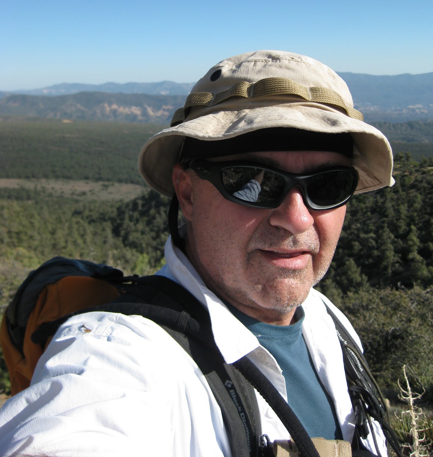
Snazzy green hat! The failing sunlight was making it hard for the point-and-shoot camera to pick out the arches.
Time to take the long and winding road back to the beckoning "big" city lights of Blanding.
The next day was the start of the return trip and hopefully a stop at Monument Valley. Alas, high winds were kicking up a monumental fuss of dust.
No magician could make a giant stone mesa disappear so readily!
"If you give me a hamburger today I'll gladly repay you tomorrow."
"Sup?"
Road? What road?
Dusty, desperate tourists
After this it was time to flee the dust and stay overnight in Page, Arizona. On the next day's leg back to Nevada the storm finally got me in its cold clutches between Page and Hurricane.
This might have been Gooseberry Mesa. I've been mountaion biking up there. Not a chance of it today!
A slightly soggy town of Hurricane.
A fitting end before reaching Mesquite for an overnight stay.
Thanks for hanging out with me through this long narrative. It was quite a trip and I tried to share as much as possible but could not possibly include all of the fantastic photos.